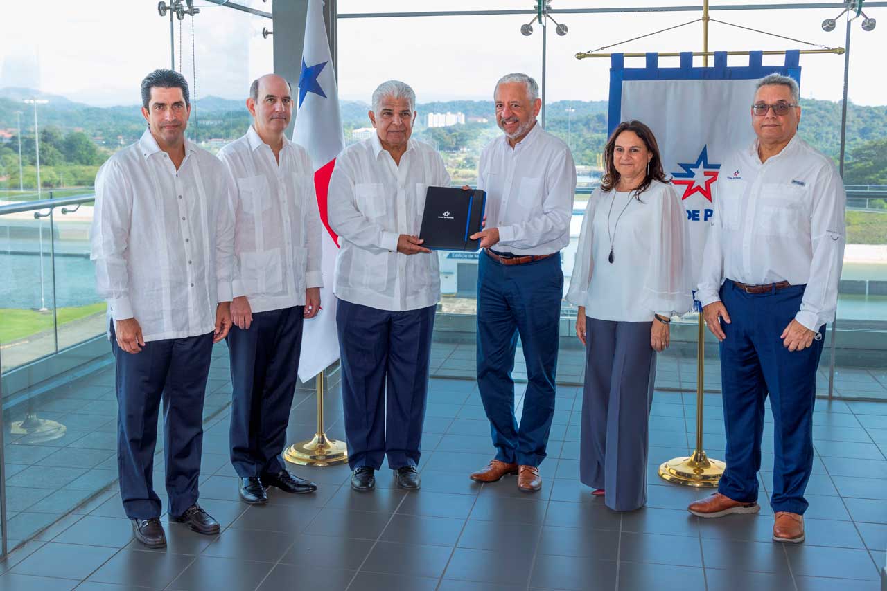
Panama City, Panama – Six top representatives of the Columbia River Pilots association visited the Panama Canal last week to learn from its technological improvements, particularly its Communications Tracking and Navigation (CTAN) system.
Steven D. Brown, the Columbia River Pilots President, said, “It is evident to us that we could save much time and expenses if we are able to implement a system such as the one used by the Panama Canal pilots. The CTAN is a safety tool and a very useful instrument to schedule the meeting situations of transiting vessels.”
The Columbia River Pilots is an association of 46 pilots who guide deep draft vessels in their transit through the Columbia, Willamette and Snake rivers located in Washington and Oregon, on the West coast of the United States. Ships travel upriver between 75 to 100 miles to various ports and areas reaching up to Portland.
The Columbia River navigation channel is 600 feet wide for 75 miles to Portland and then it narrows for the last ten miles. The channel is maintained to 40 feet and, thus, Panamax vessels are able to use this route. Very similar to the Panama Canal’s mountainous terrain, the twists and turns of the Columbia River make the radar an ineffective tool for planning meeting situations between two ships. Since the Columbia River Pilots do not have a vessel monitoring system, they are currently studying various options and were recommended by the Volpe Transportation Center of the US Department of Transportation to observe the Panama Canal pilots using the CTAN.
This week these visitors have learned about ongoing Panama Canal improvements and the modernization program. The team also reviewed the Canal’s Enhanced Vessel Traffic Management System (EVTMS); the Communication, Tracking and Navigation Based Control System (CTAN), and the progress made so far on the Automated Identification System (AIS). These systems are uniquely customized for the Panama Canal and reflect the waterway’s trend-setting adoption of the most appropriate technologies to increase safety and efficiency.
Their first stop in the Panamanian waterway included a visit to the Maritime Transit Division, where vessel movements through the Canal are coordinated and followed closely using state-of-the-art communication technology. Technical personnel gave the visiting pilots a tour of the Differential Global Positioning System (DGPS) reference stations and other signal stations along the Panama Canal. The Columbia River Pilots also experienced Panama Canal operations first hand during a transit through the Panamanian waterway.
Panama Canal Board of Inspectors Chairman Capt. Miguel Rodríguez remarked that the valuable visit and information exchange “is very significant because it provides an opportunity for exporting technological information and sharing resource management practices.”


